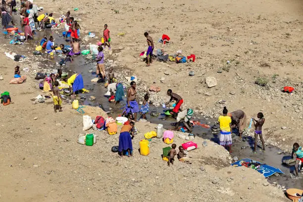
Water is life but for millions across Africa, clean and reliable access to water remains out of reach. As communities face climate change, population growth, and aging infrastructure, the water crisis intensifies. At OmiDrop Africa, we believe technology has a role to play in turning the tide and Geographic Information Systems (GIS) as well.
What is GIS?
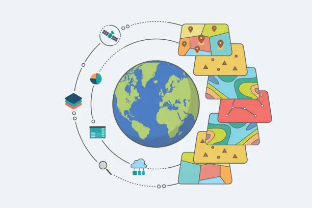
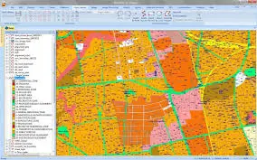
GIS stands for Geographic Information System, a technology that captures, analyzes, and visualizes data tied to location. Think of it as an intelligent map that does not just show where, but also tells us what, why, and how things are happening on the ground.
For OmiDrop, GIS is more than a mapping tool, it is our decision making compass.
How We Use GIS to Solve the Water Crisis?
1. Locating Hidden Water Sources
Using satellite imagery, elevation data, and hydrogeological models, we map potential groundwater zones. This allows us to target borehole drilling more accurately, reducing guesswork and saving communities time and resources.
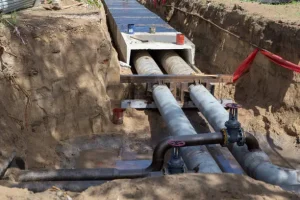
2. Designing Efficient Infrastructure
Before deploying teams to install water systems, we use GIS to simulate the best routes for pipelines, identify high-need zones, and assess population clusters. This leads to cost-effective and sustainable planning.
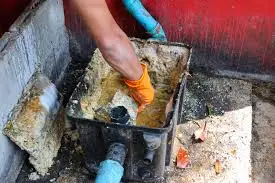
3. Monitoring and Maintenance
With GIS, we create digital inventories of water points, boreholes, tanks, and kiosks, helping our clients track performance and schedule timely repairs. This data helps prevent system failures and improves service reliability.
4. Community Empowerment Through Data
We believe communities should be at the heart of decision making. Through visual storytelling and interactive maps, we help local leaders and partners understand where the real needs are and how to act fast.
OmiDrop Africa in Action: Using GIS to Pinpoint the Perfect Borehole Location for a Water Business
A local entrepreneur recently approached OmiDrop Africa with a vision: to establish a borehole-based water business in a rapidly growing settlement. But with limited knowledge of subsurface water availability and a tight budget, choosing the wrong site could lead to costly drilling with little to no yield.That is where our GIS expertise made the difference.
1. Multi-Layer Spatial Analysis
We began by conducting a GIS driven spatial analysis, combining:
- Geological and hydrogeological maps
- Topography
- Proximity to infrastructure and demand zones
This allowed us to narrow down several high-potential zones based on groundwater viability and business accessibility.
2. Historical Data Integration
We integrated existing borehole data, both successful and failed into our GIS model. This comparative analysis helped us avoid zones with known drilling failures and focus on areas with consistent water productivity.
3. Location Scoring and Mapping
Using GIS, we created a location scoring model that ranked possible sites based on groundwater potential, cost efficiency, and logistical suitability. The client was then presented with a visual report and not, clearly showing the most strategic location.
4. Result
Thanks to GIS, the client confidently selected a location that balanced technical feasibility with commercial viability. The borehole was drilled successfully, and the water business is now thriving serving the community while turning a reliable profit.
Join Us
Solving Africa’s water and sanitation challenges requires bold thinking and smart tools. GIS is helping us unlock new opportunities, plan better, and serve smarter.
If you are a local government, NGO, or community group looking to make data work for you, let us connect.
👉 Contact OmiDrop Africa today and be part of the solution.